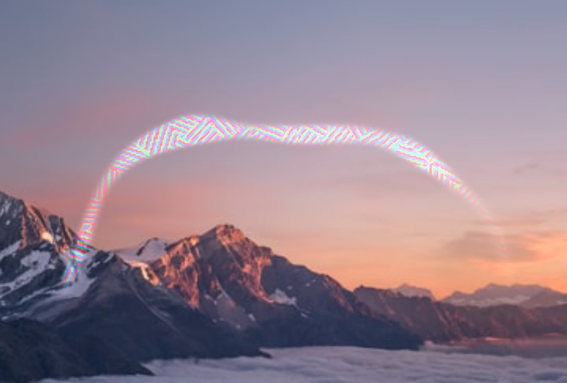
Scintillating Scotoma
Crystal Shader
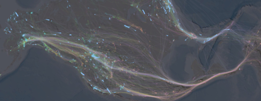
Bird Migration Explorer
(Contributor)
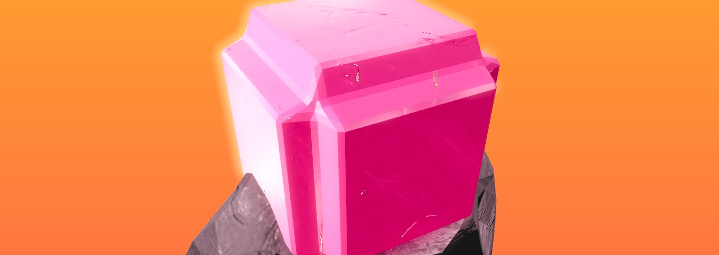
Gem Collector
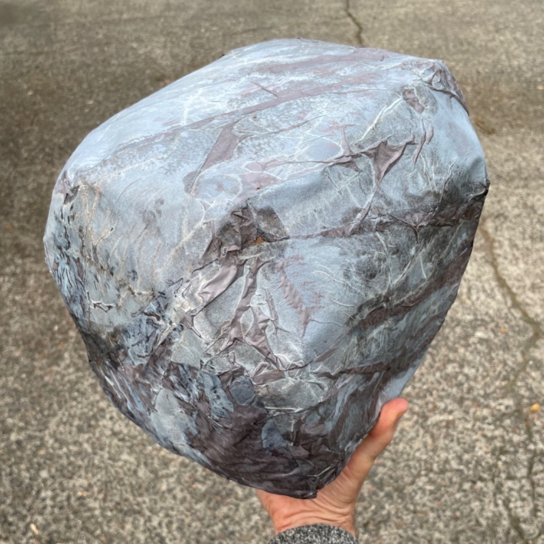
Fake Rock
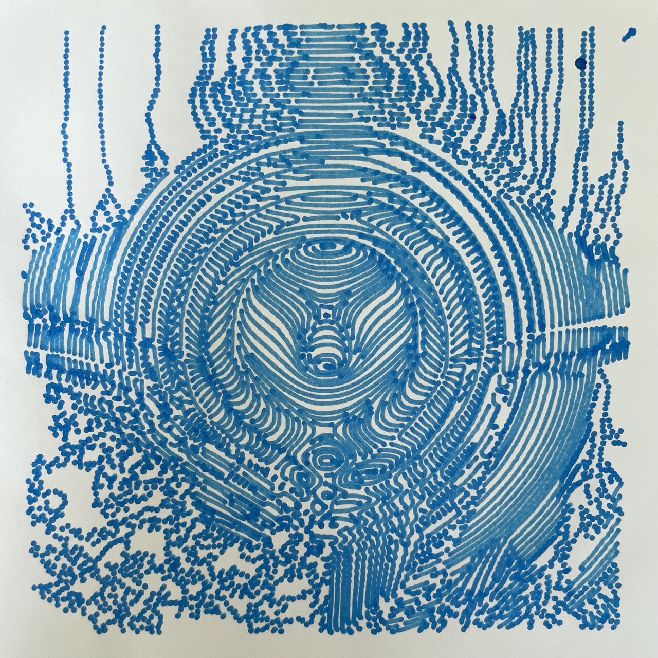
Plotter Prints
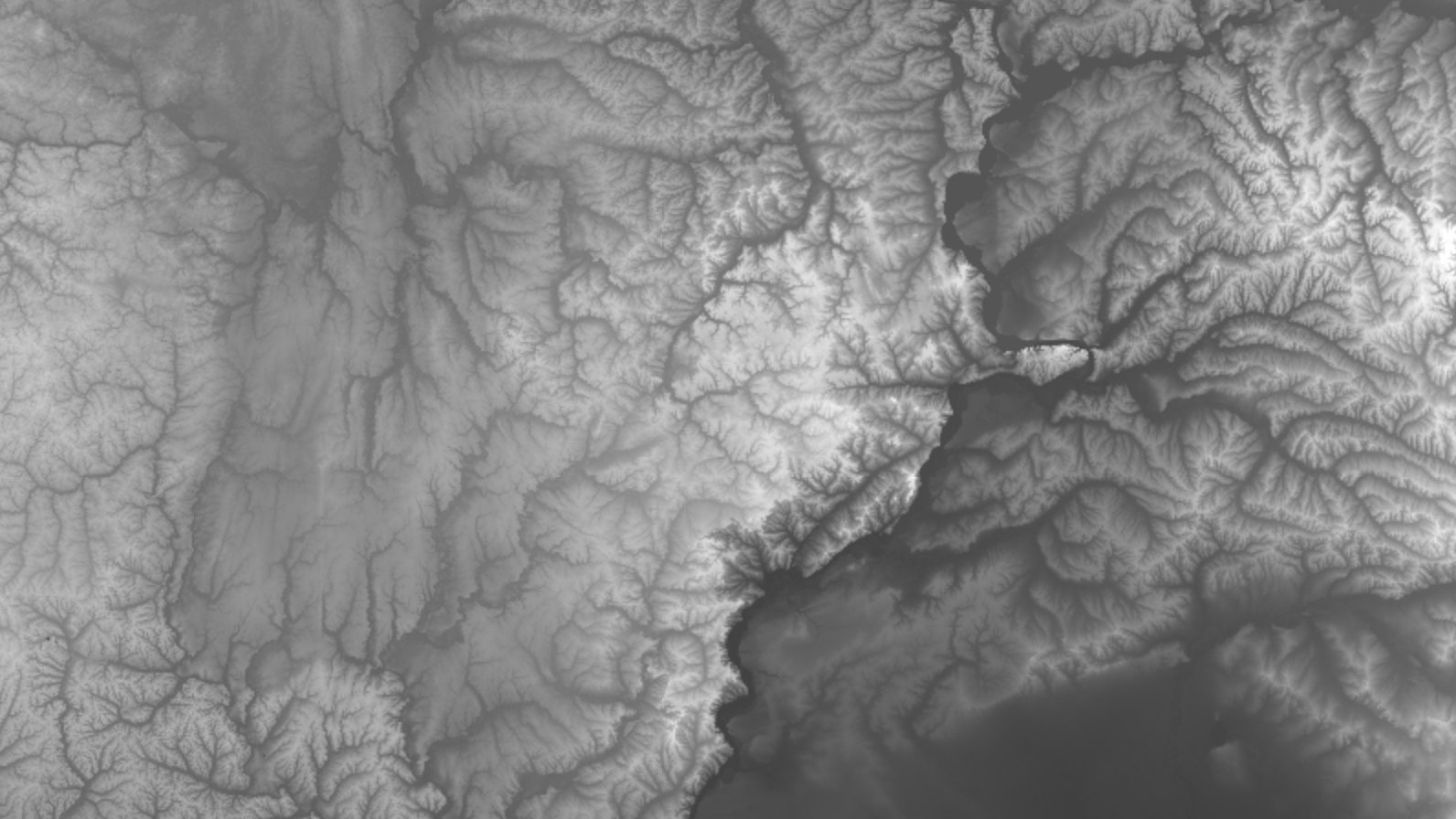
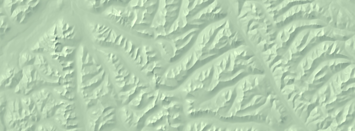
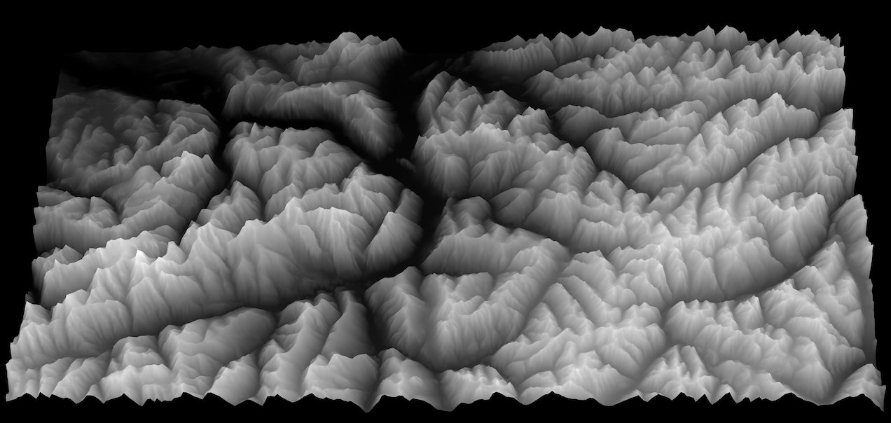
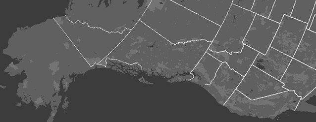
Heightmapper
Standard Deviation Map
Adaptive Generalization
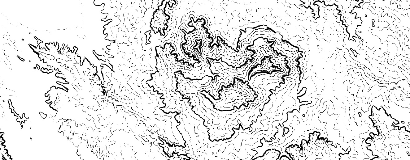
Animated Contours
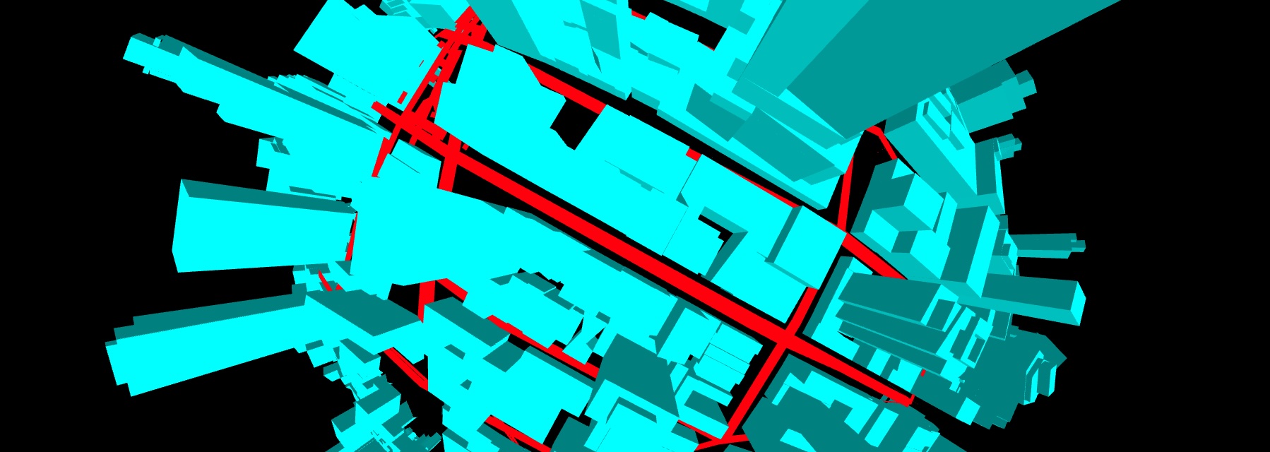
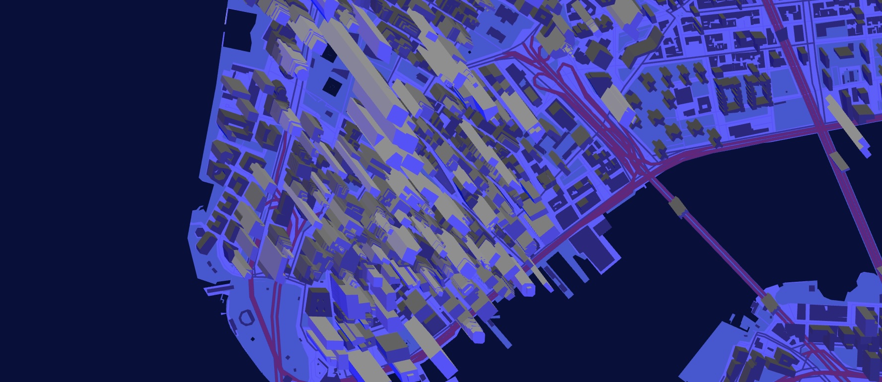
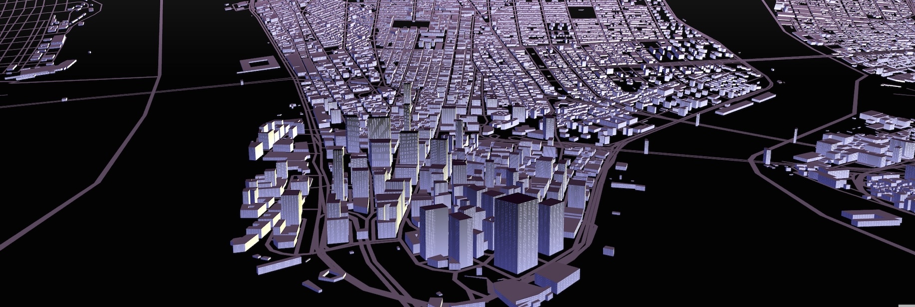
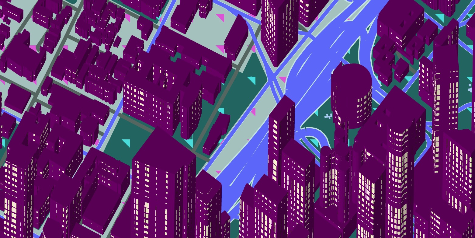
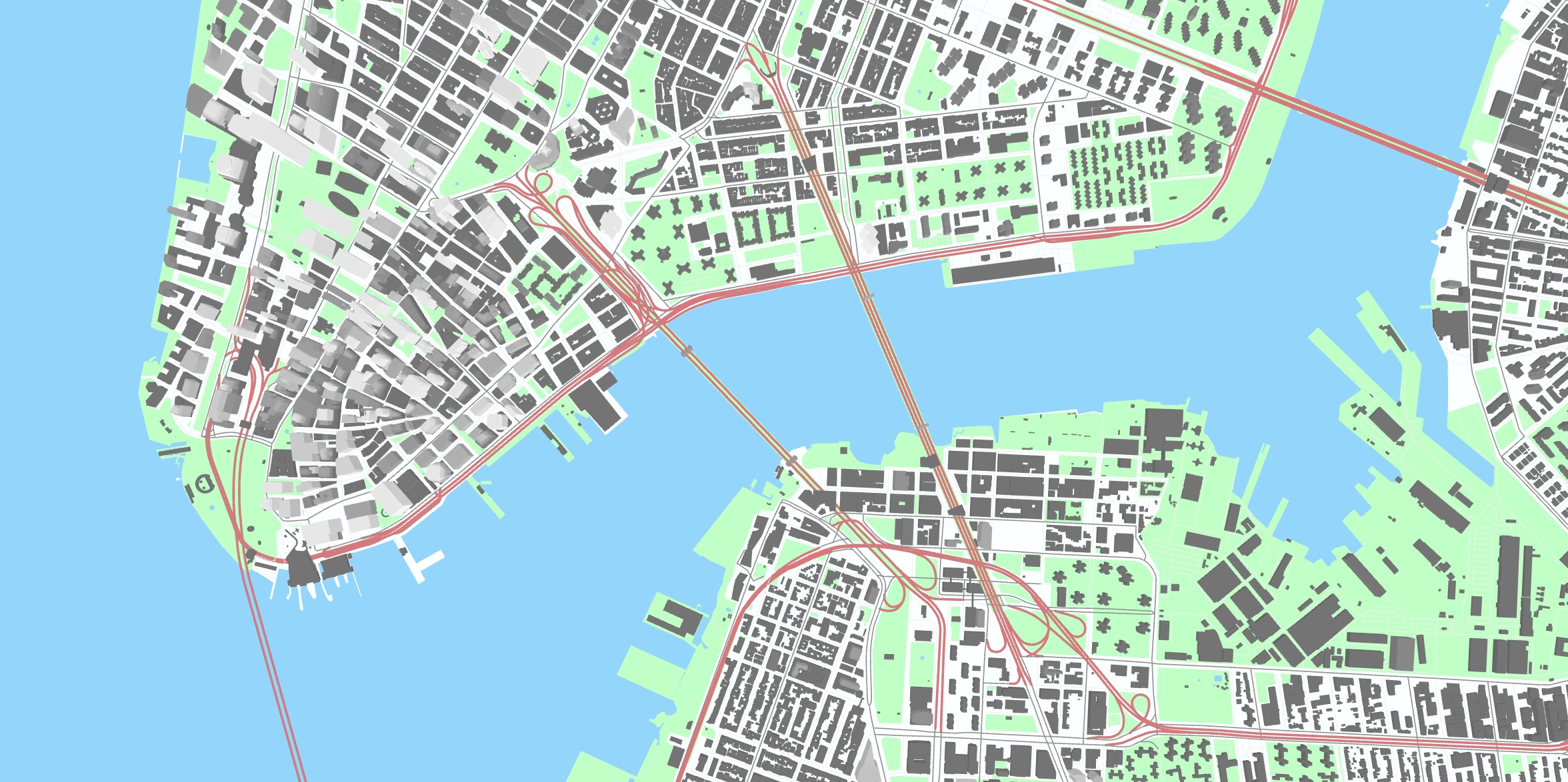
NYC Katamari
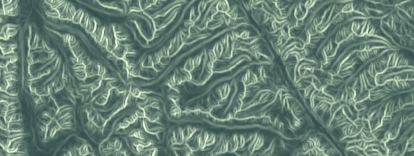
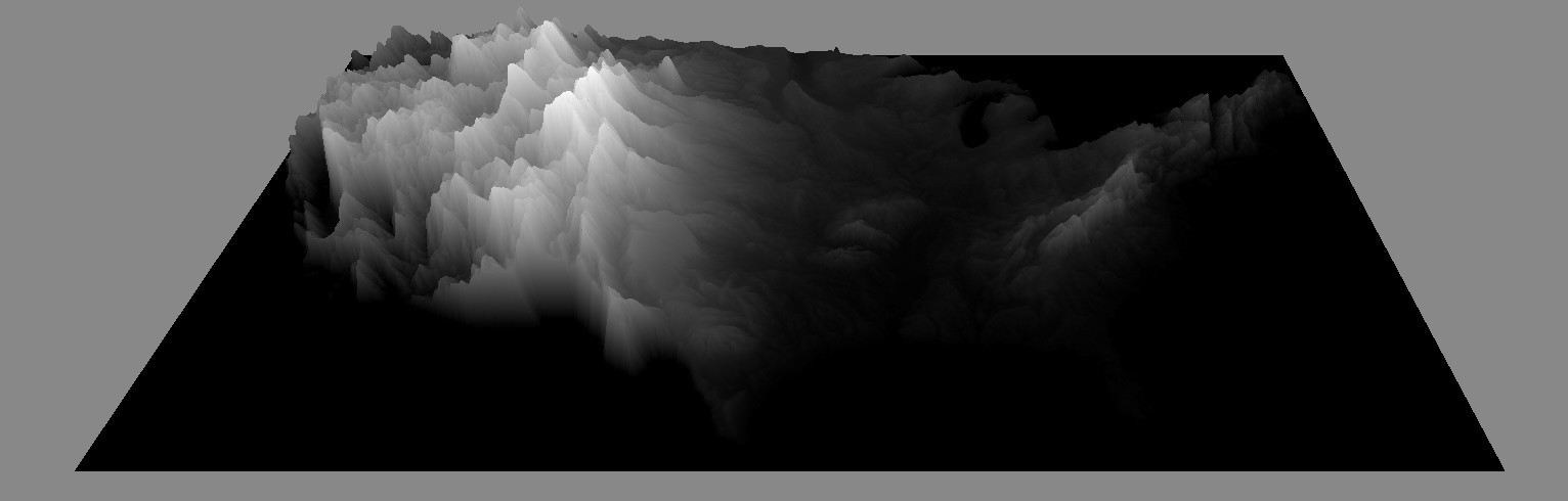
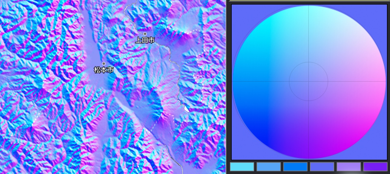
Adaptive Relief Map
Elevator
Day/Night Map
Kinkade Terrain Painter
Global Terrain
Albers Projection
Bendy Map
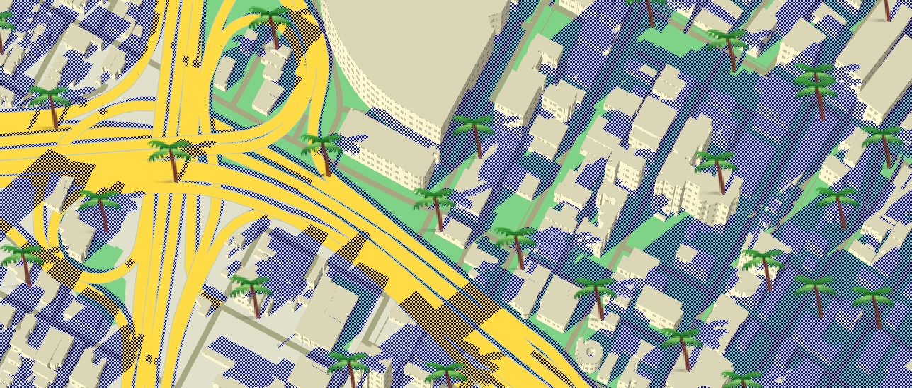
Palms
Galaxy
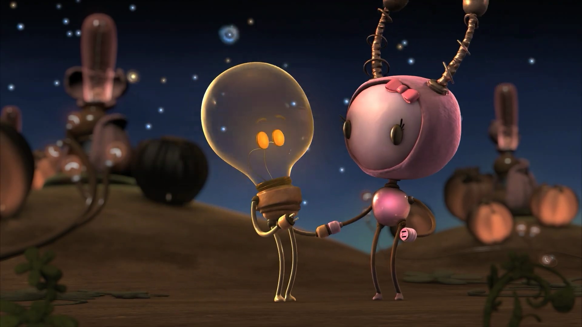
1988
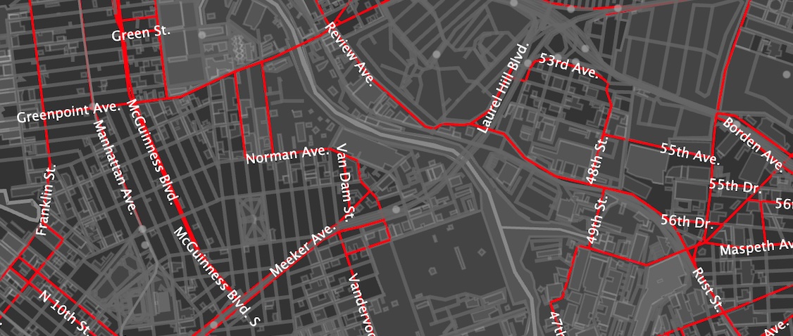
OSM Explorer
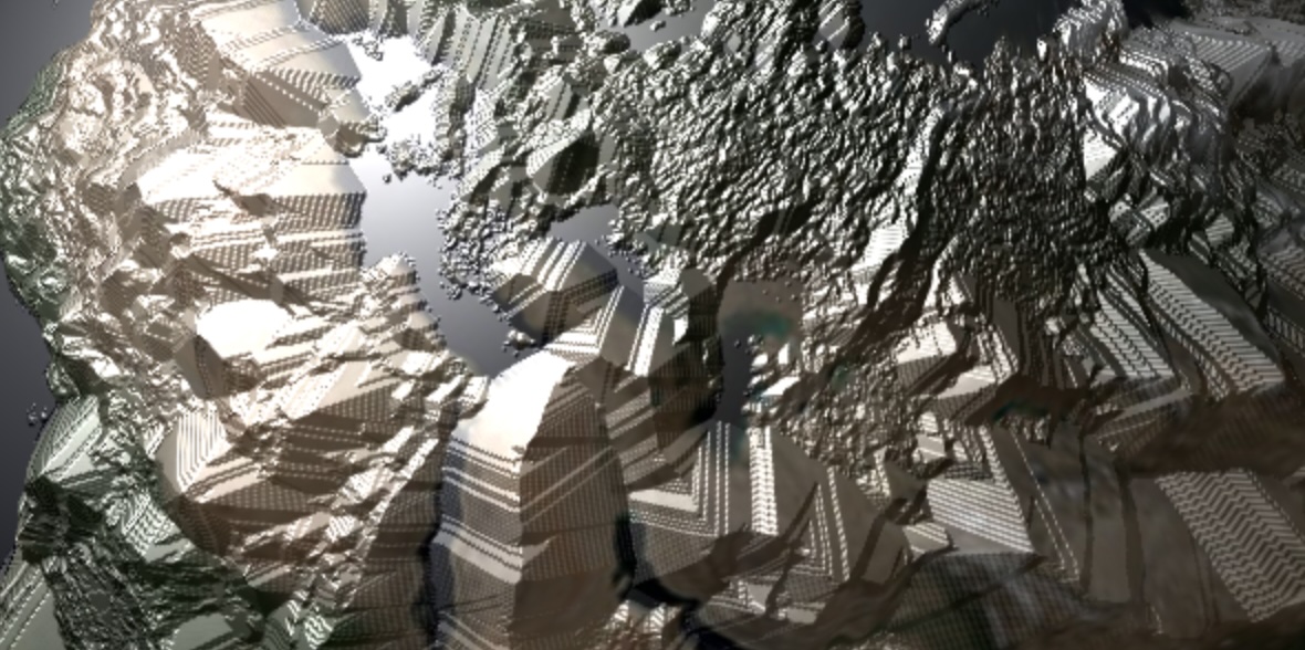
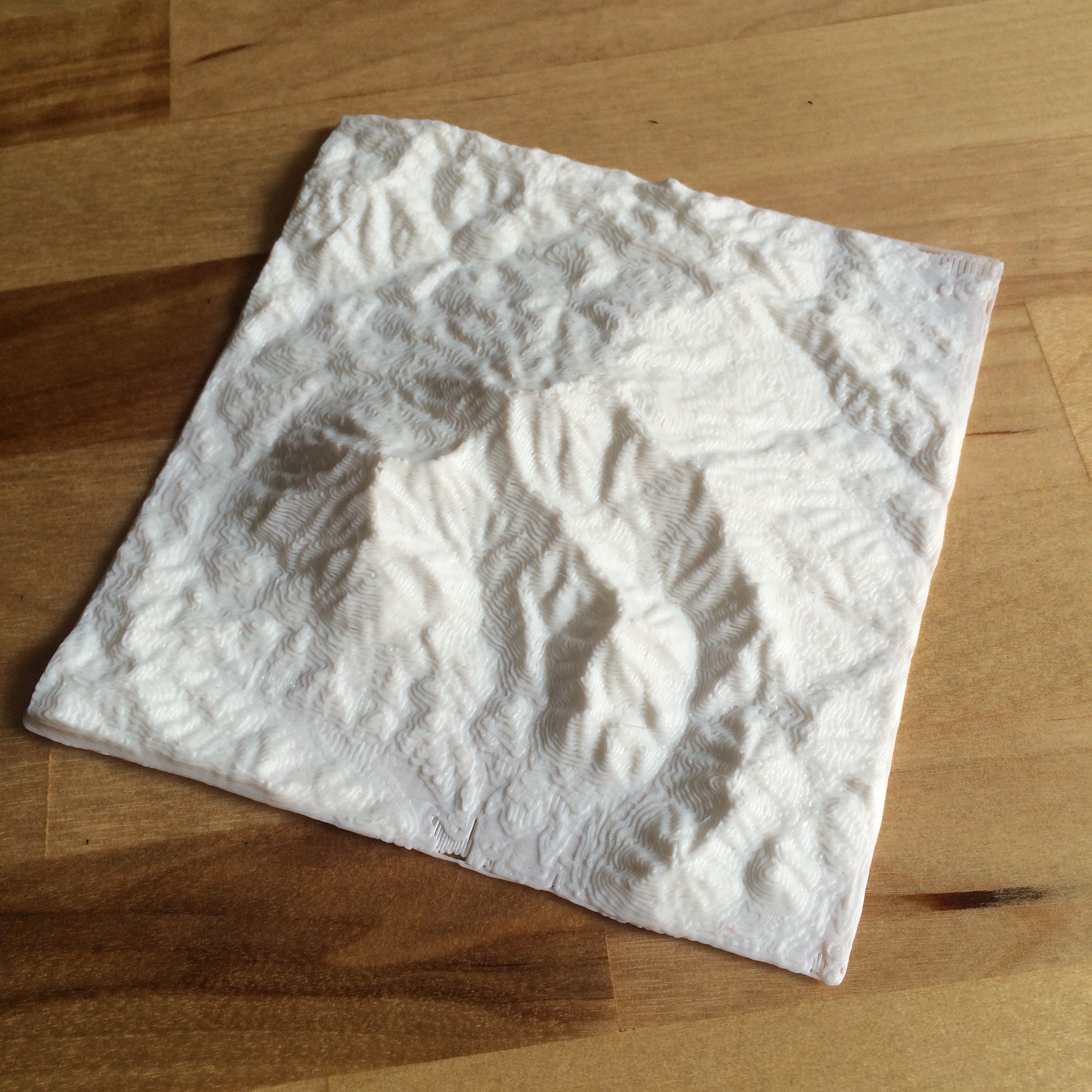
Makerbot Mountains
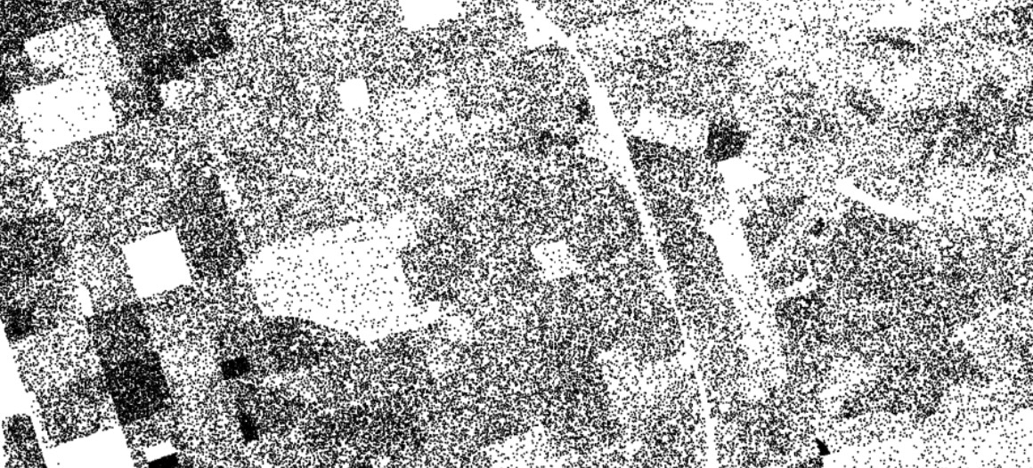
Dotmap
(Contributor)
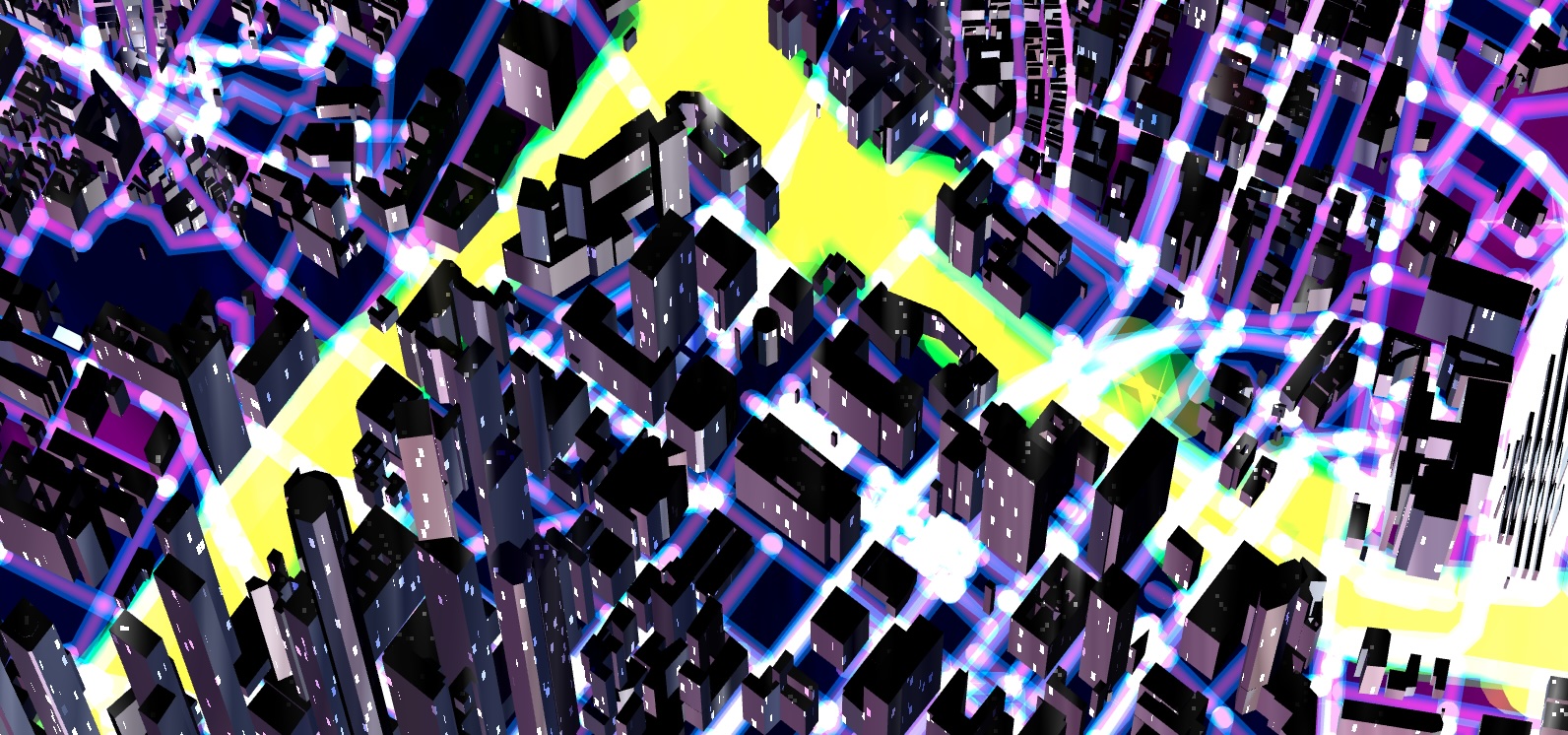
Tangram
(Contributor)
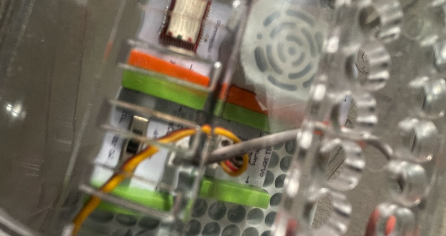
Littlebits R2D2
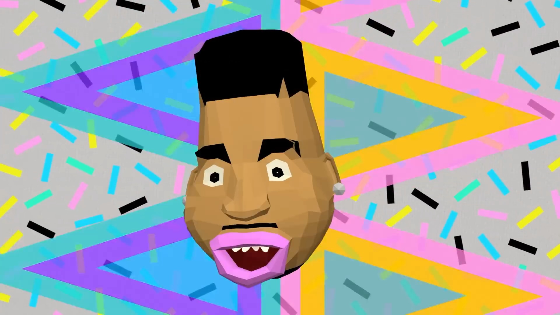
Biz Markie
Frito-Lay
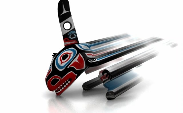
Formline
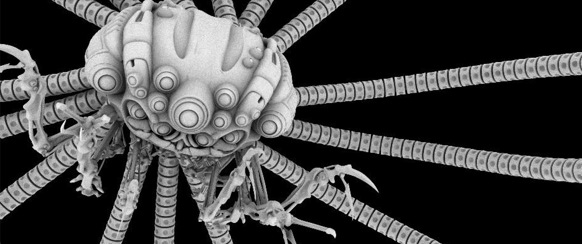
Matrix: Revolutions
VDZ Year